
How to Measure Land: Practical and Easy Guide
Announcements
Measuring a terrain may seem like a complex task, but with the right techniques and proper tools, you can do this accurately and safely. In this guide, you will learn the best methods to measure your terrain, compare different approaches, and choose the most appropriate option for your situation.
Announcements
continue on to the full guide:
 FREE GUIDE
Measure Land By Cell Phone: Simple and Precise Techniques
✓Free
✓Without equipment
✓Step by step
MEASURING TERRAIN¹
📖 Reading 2 min · at no cost
FREE GUIDE
Measure Land By Cell Phone: Simple and Precise Techniques
✓Free
✓Without equipment
✓Step by step
MEASURING TERRAIN¹
📖 Reading 2 min · at no cost
The measurement of a land is fundamental for several purposes: sale, purchase, construction, land regularization or simply to know your property better. Each method has its advantages and limitations, and the choice depends on the size of the land, the level of precision required and the resources available.
Manual Measurement with Trena: The Traditional Method
Measurement with a tape measure is the most affordable and practical method for small, regular-shaped terrain. You need a good quality tape measure (preferably 50 meters or more), two or more helpers and patience to record each measurement. This method works well when the terrain has well-defined boundaries and you can walk straight from one point to another.
The process is simple: start by marking the border points of the terrain with stakes or colored flags. Then measure the distance between each point, carefully noting in a spreadsheet or notebook. For unevenly shaped terrain, you will need to create imaginary triangles and measure each of them, then add up the partial areas. This method offers a good margin of error of up to 5%, which is acceptable for most everyday situations.
Smartphone Apps: Modernity and Practicality
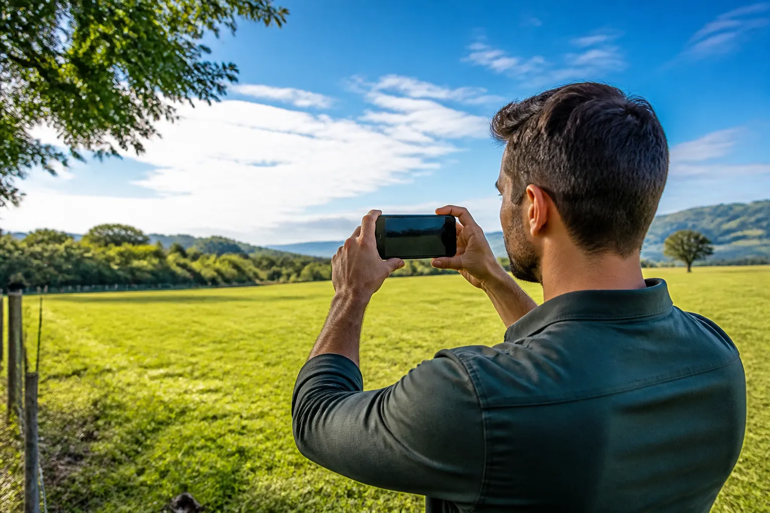
Mobile apps have revolutionized the way many people measure land.Many apps available in app stores use your smartphone’s camera and artificial intelligence to calculate areas and perimeters.You simply point your phone at the edge of the terrain, mark the main points, and the algorithm does the rest of the work.
These apps work great for clear boundary terrains and on days with good lighting. The main advantage is speed: you get a measurement in minutes. However, accuracy varies greatly depending on the app, lighting conditions and mobile phone stability during use. The margin of error can range from 2% to 10%, so reserve these apps for quick estimates or initial comparisons, not for final real estate transactions.
GPS and GNSS Receivers: When You Need More Precision
For those looking for more reliable results, handheld GPS receivers or GNSS receivers (which capture signals from multiple satellites) offer much higher accuracy than previous methods. You mark the border points of the terrain with the device, which records the geographical coordinates of each of them. Then, with appropriate software, you automatically calculate the area.
These devices offer a margin of error between 0.5% and 2%, depending on the model and the conditions of satellite coverage on site. Simple GPS receivers are cheaper, while GNSS with a greater number of channels offer better accuracy. The limitation is the initial investment in the device and the need to learn how to use the processing software. For larger terrains or in situations where accuracy is critical, this is one of the best investments.
Drone with Camera: Professional Air Vision
Drone technology with high-resolution cameras has brought a new dimension to terrain measurement. A drone captures aerial images of the entire terrain, and specialized software processes these images to generate accurate maps and area calculations. This method is especially useful for very large terrain, with complex shapes or in hard-to-reach locations.
The accuracy of drones is excellent, usually below 1% error, and you also get a complete and documented view of the terrain. The cost, however, is higher: you can hire a professional or invest in a suitable drone and learn how to operate it. In addition, there are legal restrictions in some places regarding the use of drones. For small residential land, this solution can be unnecessarily expensive, but for large or commercial properties, the return is significant.
Professional Topographic Survey: The Complete Solution
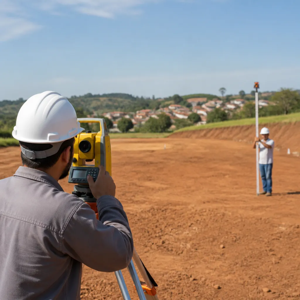
Whether you are dealing with a real estate transaction, land regularization process or large-scale construction project, a topographic survey done by an accredited professional is the safest way. The surveyor uses specialized equipment such as theodolite, level and electronic drawing board to create an accurate map of the terrain, including level curves, landforms and official coordinates.
This service offers the highest available accuracy and a document recognized by public agencies and financial institutions. The cost is higher than the previous methods, but you receive a documented work that can be used legally in various contexts. For situations where legal certainty is key, this is the wisest investment, even if it seems expensive initially.
Comparative: Choosing the Best Option for You
Choosing the best method to measure your land depends on five main factors: size of the land, level of accuracy required, budget available, complexity of the format and whether the measurement will be used for legal purposes. For a small and regular plot for information purposes, the tape or a mobile application solve well. Already for real estate transactions or construction, you will need greater accuracy.
If your land has up to 5 thousand square meters and regular format, start with the tape or a smartphone application: the cost-benefit ratio is excellent. For land between 5 thousand and 50 thousand square meters, consider a handheld GPS receiver or hire a surveyor for a few hours. For land greater than 50 thousand square meters, use drone or professional topography. And remember: it is always possible to start with a simpler method to estimate the size and then confirm with a more accurate method if necessary.
Regardless of the method chosen, the most important thing is to perform the measurement with attention to detail and preferably make repeated measurements to confirm the results. Lands with irregular shapes require more time and patience, but the final result will be much more reliable. You can even combine methods: use an application for a quick estimate, then confirm with GPS or tape to have greater security in the numbers.